With flood risks rising, NC State study integrates human reactions into urban growth plans
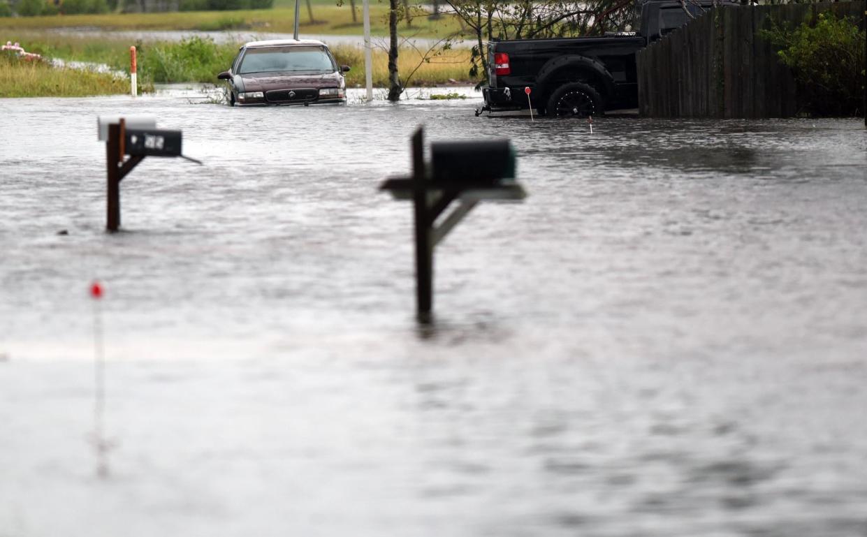
How will people react? With flooding and sea-level rise expected to get worse in coming decades due to climate change, putting more people and communities in potentially life-threatening situations, predicting answers to that question are increasingly important.
That's the challenge researchers at N.C. State University took on when they decided to create a new land-change model that simulates interactions between urban growth, increased flooding, and how people might adapt in response to a changing environment.
Dr. Georgina Sanchez, research scholar in N.C. State’s Center for Geospatial Analytics and lead author of a study that appeared in the November issue of Scientific Reports, said most existing flood-risk models don't include the human adaptation angle into their planning and forecasts.
"If we understand what might happen on a regional scale, then we can bring communities together to show the impacts of their decisions on a regional basis," she said. "So instead of having just a partial picture, or looking at how a single community might react, we can look at that bigger picture because everyone reacts differently."
RISING WATERS Why flooding from hurricanes in the Wilmington area could get a whole lot worse
Researchers used a new version of the FUTURES 3.0 (FUTure Urban-Regional Environment Simulation) model to predict urban growth while simulating human migration and other responses to flooding − essentially depicting the geography of impact and response. The model looks at exposure (patterns in urban development within floodplains); hazard (increases in flooding due to climate change); and vulnerability (capacity for adaptive response).
Sanchez said that can allow planners, politicians and emergency management officials to see and analyze several potential "what-if" scenarios, including which communities are more likely to try and adapt to rising waters by adding protective measures, like elevating buildings, versus those that will consider retreat, whether due to limited resources or the scale of future flooding problems.
"We want people to be able to look at this and see what this could mean for my specific area and what could it mean for my larger community," she said.
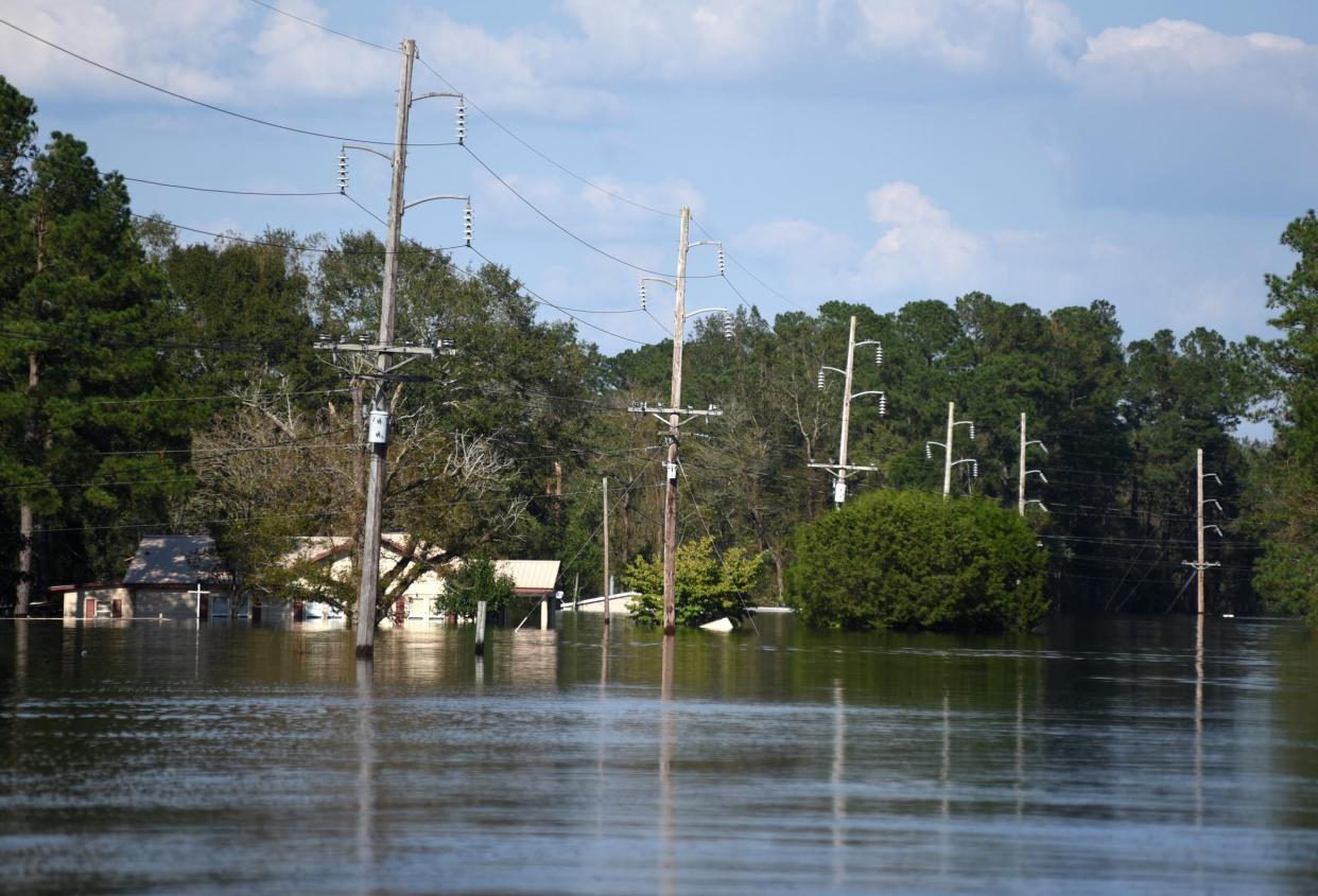
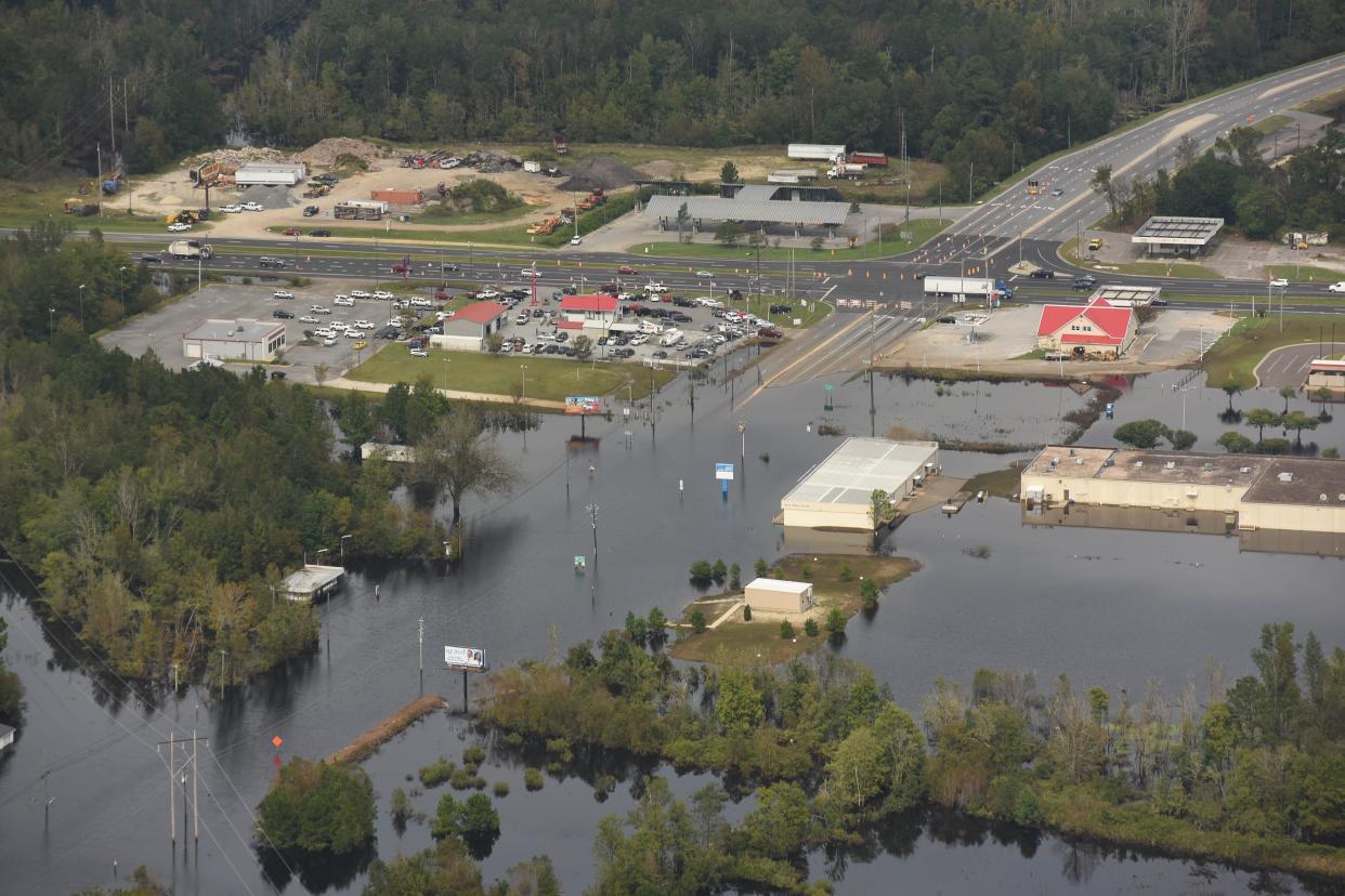
Researchers used the Charleston, S.C., metro area as a test case, which shares many of the same characteristics as the Wilmington area, which saw its population more than double between 1990 and 2020. Both regions are among the fastest-growing areas in the country and are already seeing increased flooding and impacts from sea-level rise, putting pressure on their infrastructure and capacity to effectively manage coastal flooding.
CHALLENGES AHEAD Study says climate change could impact the rapid growth along the NC, SC coasts
According to a Moody's Analytics report published earlier this year, the six U.S. metro areas with economies most exposed to acute natural hazards, many tied to climate change, are all in the Carolinas: Jacksonville, New Bern, Myrtle Beach, Wilmington, Greenville and Charleston.
The N.C. State study compared land change projections in the Charleston area for 2035 and 2050 against a 2020 baseline, forecasting potential changes to development patterns and demographic shifts based on different scenarios.
Sanchez said analyzing the potential risks and trade-offs can help area's grow smarter, such as by not allowing development − or requiring special adaptation measures from the start − in areas that modeling says will be threatened in the future. Thinking about those long-term consequences can not only save lives and money, but protect existing communities from increased runoff and flooding. Much of the criticism of the proposed development of the west bank of the Cape Fear River across from downtown Wilmington has been centered around fears of increased flooding woes.
GOING GREEN Why officials are betting on wetlands to keep the Battleship North Carolina afloat
By looking at conserving certain areas or thinking about resilience from the beginning rather than allowing business-as-usual development, communities can better prepare themselves for what's coming.
"For communities here in North Carolina and across the Southeast, we need to collectively understand that our environment is changing, and either we can react or are we going to be proactive," Sanchez said. "If people become climate migrants, for example, that's going to put pressure on other resources."
But doing so will require making tough and likely unpopular decisions. Retreat along the oceanfront, although one that makes economic sense in some cases, is already fraught with economic and political minefields. And telling someone what they can or can't do with their property, whether through zoning or other means, could open up a Pandora's Box of legal and constitutional questions.
Sanchez said researchers intend to expand their studies to look at other regions and communities across the Southeast, highlighting development challenges and vulnerabilities so that communities have the opportunity to make smarter and more informed decisions.
"We hope it allows communities to engage with all stakeholders so we can start having these uncomfortable conversations and challenge each other to find these sustainable solutions.” she said.
Reporter Gareth McGrath can be reached at GMcGrath@Gannett.com or @GarethMcGrathSN on Twitter. This story was produced with financial support from 1Earth Fund and the Prentice Foundation. The USA TODAY Network maintains full editorial control of the work.
This article originally appeared on Wilmington StarNews: NC State researchers integrate human reactions into flood risk models
