Scorching temps, severe storms, tornado possible for KC area. When could they hit?
A volatile mix of extreme heat and severe thunderstorms will be possible over the next several days, spilling over into the July 4 holiday in the Kansas City area, according to the National Weather Service.
But before the Independence Day celebrations, a dangerous combination of heat and humidity is expected Tuesday.
“High temperatures across the region are expected to range from the low to upper 90s with higher temperatures south of I-70,” the weather service said in its forecast discussion. “With dew point temperatures in the low 70s, heat indices are expected to reach 100-110 across the area.”
Kansas City’s temperatures are expected to reach the mid-90s, with the heat index climbing near 107 degrees. This time of year, Kansas City typically sees temperatures in the upper 80s.
A heat advisory has been issued for Kansas City and parts of Kansas and Missouri from noon until 8 p.m.
“Hot temperatures and high humidity may cause heat illnesses,” the weather service warned. “Drink plenty of fluids, stay in an air-conditioned room, stay out of the sun, and check up on relatives and neighbors.”
When will strong to severe thunderstorms develop?
The hot and humid weather will set the stage for strong to severe storms to erupt Tuesday afternoon.
Thunderstorms, some that may become severe, are expected to develop along a cold front after 4 p.m., according to the weather service. The timing for the strongest storms will be between 4 and 9 p.m.
Northern Missouri, northeast Kansas and parts of Kansas City’s Northland are at the highest risk of severe weather. The weather service’s Storm Prediction Center has placed the area, which includes St. Joseph, Leavenworth, Liberty and Gladstone, under an enhanced risk of severe weather.
The rest of the metro area is under a slight risk for severe weather.
“Damaging straight-line winds seem to be the primary concern at the moment,” the weather service said. “However, all hazards will be possible with the strongest storms.”
Large hail, heavy rains, tornadoes possible
Large hail, just under the size of ping pong balls, and a tornado or two cannot be ruled out. Wind gusts of 60 to 70 mph will be possible.
Heavy rains from the storms could lead to flash flooding. Unlike Monday, when heavy rains led to flash flooding across the southern half of the metro, the higher rainfall totals are expected to be in the counties north of Interstate 70 and east of Interstate 35. Rain totals are expected to range between 2 and 3 inches for those areas.
“Additional rounds of heavy rainfall will likely further aggravate river and creek flooding across the region,” the weather service said.
Active weather pattern continues through July 4
The wet weather will linger in the Kansas City area through the holiday.
“Repeated rounds of thunderstorms continue Wednesday and Thursday with chances for strong to severe storms,” the weather service said.
There is potential for strong to severe storms on Wednesday afternoon and evening. The threat of severe weather is more likely south of I-70 in the southern portions of the Kansas City forecast area.
The threat of severe weather is greater on Thursday. Strong to severe thunderstorms may produce all types of hazards.
“We will continue to closely monitor conditions as the time approaches,” the weather service said.
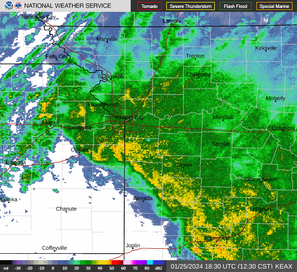
Weather watches and warnings
A live data feed from the National Weather Service containing official weather warnings, watches, and advisory statements. Tap warning areas for more details. Sources: NOAA, National Weather Service, NOAA GeoPlatform and Esri.
