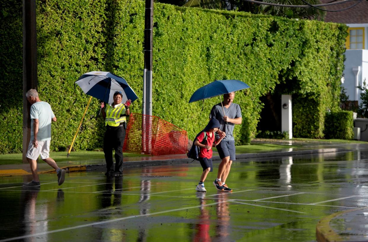
South Florida weekend weather should be drier but still warm

A hint of drier air — no more than a sigh — will filter through South Florida this weekend offering a reprieve from copious showers that have more than doubled the normal amount of rain in some areas of Palm Beach County.
The National Weather Service in Miami said what’s left of Hurricane Francine will jostle loose a stubborn front loitering over Central Florida that has been responsible for the daily deluges. West Palm Beach has gotten 7.79 inches of rain this month through Wednesday. That’s 4.64 inches more than average.
But meteorologist Ana Torres-Vazquez cautioned against high expectations for what is coming. It’s not a true cool front and temperatures will only take a slight dip with daytime highs topping out in the upper-80s.
“When I say there’s going to be drier air, it’s very relative,” Torres-Vazquez said. “The humidity values have been way above average this past week or so and we’ll be getting back to something more normal.”
That means typical scattered thunderstorms are still expected with a potential for heat advisories, which are novel for Palm Beach County in September.
Until Sept. 3 — the first of six days this month to have a heat advisory — none had been issued for Palm Beach County in September going back to at least 2009, according to the NWS records.
A heat advisory is issued for Palm Beach County when heat-index temperatures are forecast to reach 108 degrees or higher for at least two hours. In Broward and Miami-Dade counties, a heat advisory is issued if heat-index temperatures of 105 or higher are expected for at least two hours.
More: Meteorologists look for clues as to why hurricane season stalled. Is the answer in Africa?
Average daily temperatures have been running up to four degrees above normal this month in West Palm Beach as measured at Palm Beach International Airport. That combined with the heavy moisture in the air is one reason for the unusual September heat advisories.
“The other part of the answer is since Broward and Miami-Dade lowered their criteria, there are times when they are a slam dunk for an advisory and Palm Beach is borderline but for messaging purposes, it’s easier to message for the whole east coast,” Torres-Vazquez said.
The advisories continue a summertime trend where West Palm Beach had 29 heat advisories June 1 through Aug. 31. The summer season ended as the fifth-hottest in records dating back 131 years.
“As has been the trend for well over a decade, temperatures averaged above normal,” said Robert Molleda, meteorologist in charge at the NWS Miami office, in his summer summary.
He noted that much of the summer heat was captured in overnight temperatures. West Palm Beach had 25 overnight temperatures of 80 degrees or higher — at least twice as many as the summer of 2023.
“Those looking for relief from the summer-long heat and humidity typically have to wait until early or mid-October for the first noticeable cold front,” Molleda said. “More substantial lowering of temperatures into the 50s are not normally observed until late October or November.”
While the tropics suddenly came alive this week with Hurricane Francine, which made landfall in Louisiana on Wednesday as a Category 2 storm, there are no current direct threats to South Florida.
The National Hurricane Center is watching Tropical Depression Seven, which is about halfway between Africa and the Lesser Antilles. The system is forecast to become Tropical Storm Gordon but should turn north out to sea with no threat to land.
2024 Hurricane Season Guide: Storm preparation tips, supplies, evacuation zones, insurance info
Also, an area of low pressure could form off the coast of the Carolinas and Georgia with the potential to become a subtropical or tropical storm early next week as it drifts northwest. The next name on this year’s hurricane list is Helene followed by Isaac.
Fox Weather hurricane specialist Bryan Norcross called the state of the Atlantic basin “odd.”
“Systems we would expect to develop, considering the extremely warm ocean water and apparently conducive atmosphere, don’t organize as quickly or as robustly as they often do,” he said Thursday in his Hurricane Intel blog. “It’s a bit of a puzzle that will likely take time to resolve.”
Francine is the third hurricane to make a U.S. landfall this year following Beryl on July 8 in Texas and Debby on Aug. 5 in Florida’s Big Bend region. Only eight other years since 1900 have had three or more continental U.S. landfalls by Sept. 11, according to Colorado State University hurricane expert Phil Klotzbach. Those years include the hyperactive seasons of 2004, 2005 and 2020.
Kimberly Miller is a journalist for The Palm Beach Post, part of the USA Today Network of Florida. She covers real estate, weather, and the environment. Subscribe to The Dirt for a weekly real estate roundup. If you have news tips, please send them to kmiller@pbpost.com. Help support our local journalism, subscribe today.
This article originally appeared on Palm Beach Post: West Palm Beach weather drier this weekend but still warm with some storms
