Spaghetti models show positive outlook for Savannah, but heavy rains still a possibility
In a rush? Here's everything you need to know — in less than a minute — about what's happening in the tropics.
The next named storm of the 2024 Atlantic hurricane season could be brewing in the southwestern Atlantic.
The tropical wave forecasters have been watching for days was designated Invest 97L Thursday morning. The National Hurricane Center said it could strengthen into a tropical depression this weekend or early next week over the eastern Gulf of Mexico or near the Florida Peninsula.
➤Spaghetti models for Invest 97L
Many spaghetti models now show the tropical wave moving into the Gulf of Mexico, where the lack of steering currents mean it could rapidly intensify, according to AccuWeather.
"Residents from Louisiana to Florida's West Coast have to be ready," said AccuWeather Lead Long-Range Expert Paul Pastelok.
AccuWeather warned the system has the potential to strengthen into a tropical storm or hurricane. If winds reach 39 mph, it would become Tropical Storm Debby.
Spaghetti models for Invest 97L. How close could it come to Fort Myers, Florida?
This graphic automatically updates to show how various spaghetti models are tracking Invest 97L.
Special note about spaghetti models: Spaghetti model illustrations include an array of forecast tools and models, and not all are created equal. The Hurricane Center uses only the top four or five highest performing models to help make its forecasts.
Invest 97L: How could tropical wave affect Fort Myers area? Expect rain if it stalls in the Gulf
Invest 97L could become tropical depression, Tropical Storm Debby

Will Invest 97L strengthen over or near Florida? Current forecast
"The latest models show it going into the eastern Gulf and then exploding there," Pastelok said.
"There is low steering flow in the eastern Gulf so once it gets there, it's kind of stuck and over warm water, it can intensify. At this point, it can go almost anywhere. There's just nothing in the Gulf to steer it and there's very concerning.
"I don't trust it and don't like it. Residents from Louisiana to Florida's West Coast and Panhandle have to be ready in case it rapidly intensifies. And if it sits there (in the Gulf) it can intensify. The slower it moves, the stronger it can become."
Pastelok said forecasters will have a better idea on what will happen once the invest moves through the Caribbean islands and mountains, which could slow development and organization.
"Sunday, it could blow up in the eastern Gulf."
Track active Atlantic storms
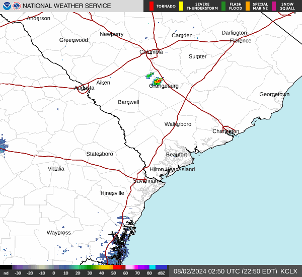
Weather radar: Track storms near Savannah, Georgia
Latest weather watches and warnings issued in Floridapanhandle
What's next?
We will continue to update our tropical weather coverage as conditions change. Download your local site's app to ensure you're always connected to the news. And look for our special subscription offers here.
This article originally appeared on Athens Banner-Herald: Tropical wave designated Invest 97L, what it means for Savannah
